Real-time situational awareness

situational awareness-1

A reliable 360° view of the situation

In today's constantly changing landscape, events such as pandemics, extreme weather, civil disorder, or supply chain disruption can seriously impact people and infrastructures, overseen by private enterprises and governmental bodies, including municipalities and inter-municipal organizations.

Anticipating and responding efficiently to critical events through located alerts and timely omnichannel communications is key. Our situational awareness instruments provide crisis managers with a digital twin of the in-situ field situation, in real-time and at scale to guide field operations and generate rapid decisions.

Compliance matters

Data confidentiality is a non-negotiable factor, whether addressing collaborators or citizens. That's why data privacy regulations, including GDPR, are integral to our approach as a European company. Privacy by design has been at the heart of our approach since day one.

AI & advanced analytics

By relying on advanced location-based technologies, fast data capabilities, and AI algorithms, our platform consolidates key metrics enabling real-time insights into on-ground activities for local authorities, mission-critical sites, and critical infrastructures.

Heatmaps & automation

Through advanced algorithms, Intersec instantly computes and displays real-time population heatmaps to significantly enhance dynamic situational awareness, and triggers automated actions in line with each scenario ensuring swift and effective responses.

Tactical management of a crisis

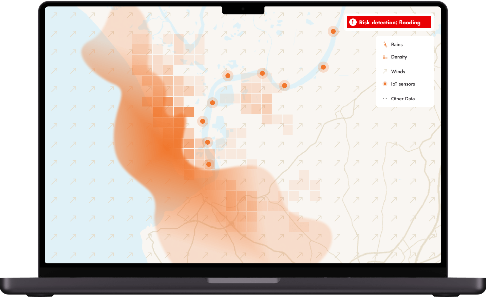
Real-time population heatmaps

more

As the situation evolves, get tactical crisis management insights by visualizing live population heatmaps of the targeted area.

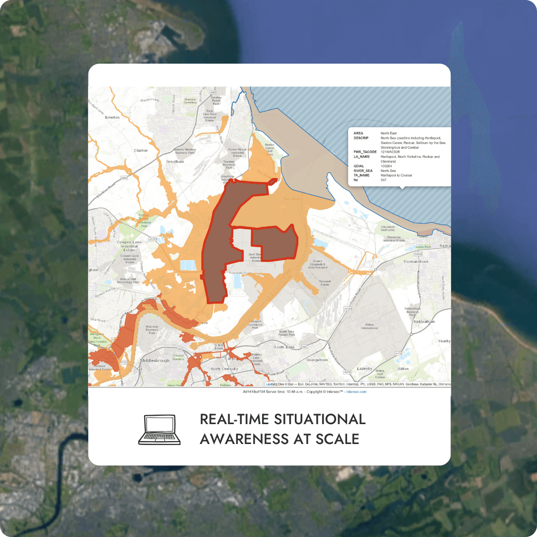
By consolidating various static and dynamic layers of information, the end-users benefit from a rich cartographic vision of the terrain and the situation. With its embedded GIS capabilities, the solution smoothly integrates with external geodata sources and providers via typical standards from OGC (Open Geospatial Consortium) and IETF (Internet Engineering Task Force).

Field information, such as the alert location and the number of people receiving the message, is indicated in real-time, and, as the crisis evolves, changes in population density are displayed as colored-coded mapped zones.

Live data layering

more

Intersec goes deeper into the data provided to you. On the map, one has the possibility to add layers of constantly updated information flows to enrich the already existing data of Points of Interests (POI) (Ambassies, police & fire stations).

This unified view and flexibility helps to mitigate damage and downtime by ensuring normal operations can be restored as quickly as possible.

Alert monitoring functions

more

Monitor threats around your stakeholders and facilities.

Make more adaptive and dynamic decisions throughout the management of critical events, and quickly protect or restore operations and infrastructures, mitigate brand and financial impacts, and most of all, help ensure employee safety.

Authorized collaborators can create alerts, define alert zones and select the preferred communication channels in a few clicks. The map page offers direct access to a toolbar for creating zones and manipulating sectors. Several tools are available to add sectors of various shapes, edit them afterward, or carry out merger or subtraction operations.

Contextual multichannel messages

more

Efficient alerting is critical. Because there are always unforeseen situations despite the best preparation in the world,  having a graphical user interface allows to initiate an alert from scratch and to broadcast it rapidly in just a few clicks to a targeted area. Through behavioral targeting, our technology enables the sending of personalized messages to highly-segmented groups of stakeholders.

Whether you are a public entity or a private critical infrastructure, leverage the potential of electronic and digital communications networks: inform people through Location-Based SMS and other traditional and digital channels, allowing you to stay ahead of the crisis management curve.

Adapt the communication channel to the people concerned: SMS, voice calls, email, website, etc. and send an alert within a defined area.

Alert managers get directly a live vision of the effectiveness and the performance of the broadcasting of their alerts through the various communication channel enabled.

Geolocated retargeting

more

Through the solution's behavioral targeting and retargeting capabilities, people who remain, enter, leave, or re-enter the targeted area can subsequently be notified by updated alerts to stay informed. Moreover, stakeholders who have decided to opt-in to notifications can stay informed of alerts in their chosen areas.

Our robust technology makes it possible to communicate throughout an incident's planning, alerting, follow-up, and recovery stages. It provides an opportunity to communicate with all parties involved, including those who can assist, those who need to know, and, most crucially, those who will be affected.

This type of alert is possible via the SMS communication channel, following an initial SMS communication, geolocated or not. 

This feature enables recipients of a previous alert message to be contacted, to provide them with new information that complements or follows-up on the previous message, even if they are no longer in the information area.

europe
IoT__Smart_Cities
barometers
geofencing

Act fast in critical situations

Data collection

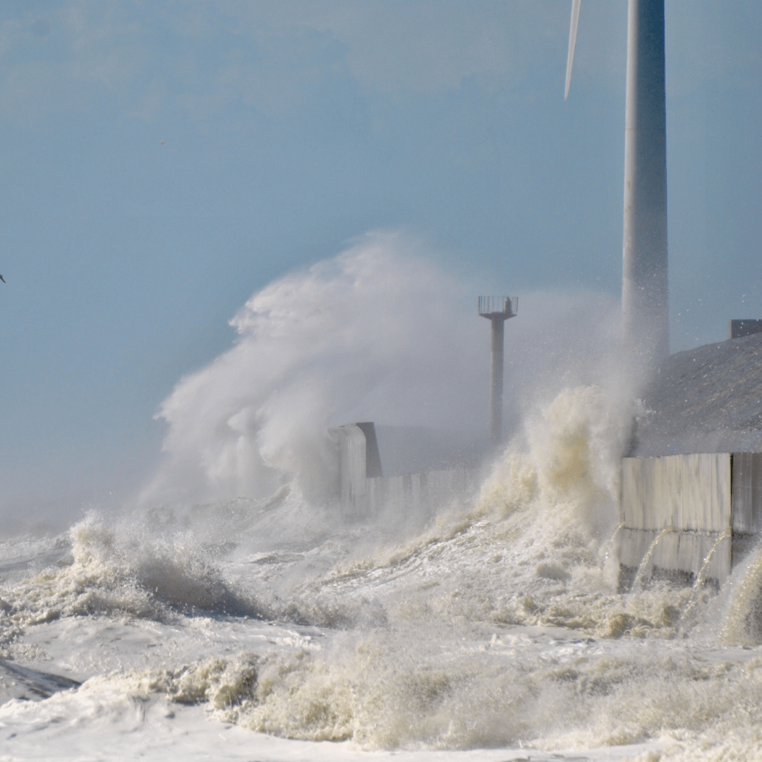
Collect data from predefined feeds (weather forecast, geohazards...) to be instantly notified when a disruptive event arises, such as a flood, a chemical explosion, forest fire, etc. 

Alert creation & diffusion

Edition and dissemination of targeted alerts (on a selected area and/or contacts) on selected or all digital channels, with personalized messages according to each audience's profile.

Real-time statistics

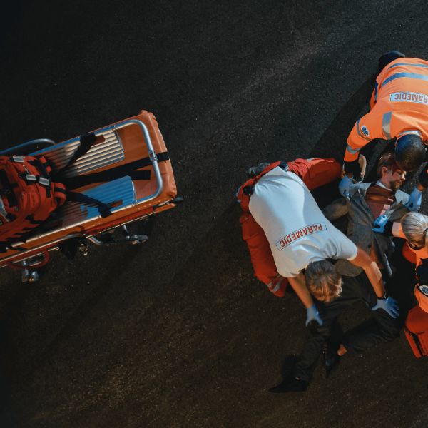
Instant reception on the targeted channels, giving the opportunity to monitor the situation in real-time and streamline the rescue operations and thus manage the crisis efficiently.

Client success story

left right

Context

Epidemic clusters had become a challenge for disease control, becoming a serious burden for hospitals. The challenge was to get stakeholders involved as quickly as possible and be able to communicate in real-time regarding the incident thanks to situational awareness via density maps and other means.

To be the most effective in preventing further spread, the data has to be low-latency, real-time data, which shows how these anonymous mobile phones are moving, and to immediately and proactively determine the location hubs of increasing population density.

Solution

Mobility data-based tools allow authorities to automatically determine where large gatherings were forming via the geographic density of the mobile phone locations. The Intersec fast data capabilities overcame all technical challenges around the anonymous tracking and tracing at scale:

  • Performing event stream processing on 500,000 anonymous location events every second for over 30 million mobile phones
  • Visualization, in real-time of subscribers from a local to a national scale, with heatmaps/choropleths
  • Making a dataset of 2 petabytes of reference data and historical data available for further analysis and investigation with ultra-low latency, on the order of milliseconds
  • Scoring: a rating scale to identify the at-risk populations 
  • Prediction: insights utilized to predict scenarios, decide where to send medical staff, identify people likely to get sick, and streamline medical operations
Learn more

As a result of our use of the Intersec platform, we have been able to provide the Asia-Pacific authorities with instantaneous, precise location data that saves lives and prevents additional evolution of the pandemic.

Pedro Uria Recio

Chief analytics & AI officer​

Context

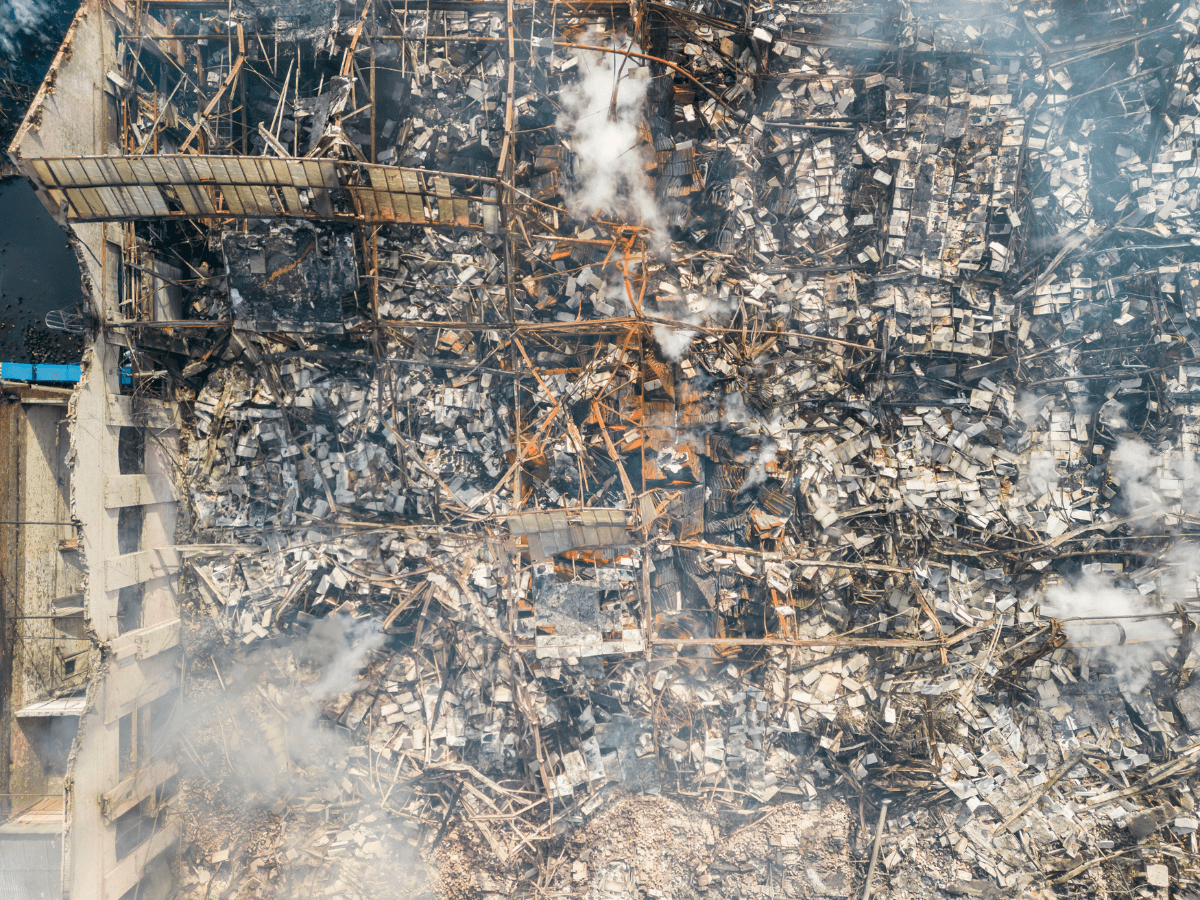
In the heat of August, with temperatures over 40°C, and following a breakdown in the ventilation system, a fire broke out in a factory. The industrial site produces various chemical products for the fine perfumery, detergent and lubrication markets. Rapidly, the fire became uncontrollable. Toxic chemicals began to escape. A regional crisis unit was set up and the Prefect launched a crisis management operation. 

Solution

On a national level, a location-based SMS was immediately triggered by the Prefecture in surrounding regions to all citizens exposed to the risk using FR-Alert.On a local level, the mayors of the affected cities decided to refine the instructions for the inhabitants closer to the plant and sent 3 messages using Trela: 

  1. The 1st one targeting the people living less than 5 km away instructing strict confinement, 
  2. The 2nd one to a buffer zone to ask them not to go near the plant, 
  3. The 3rd one to a predefined group of parents to ask them not to approach the schools until the end of the alert

Trela then replicated the messages on the cities’ social networks and transmitted through voice calls the messages to people who did not have a cell phone, mostly elderly people.

Discover Trela

With Trela, we support mayors, presidents of inter-municipalities and managers of critical infrastructures in the exercise of their competences in the face of risks to effectively complement the crisis management of the government which has FR-Alert.

Charlotte Thomas

Trela Director

Context

Our customer – a tier-1 operator in North America – was approached by a major energy provider to deliver a mass alerting system to cities close to a nuclear plant. In case of a potential disaster, the system should notify a large population, isolated citizens, and emergency services with relevant instructions based on their current location.

Solution

Intersec crisis management solution is deployed at the core network of the main mobile connectivity provider in the region. Providing real-time intelligence based on anonymized telecom data to local authorities and mass-scale messaging capabilities – the solution allows emergency services to:

  • monitor population flows,
  • analyze the presence of individuals in hazardous areas,
  • enable officials to communicate relevant instructions instantly to all mobile-equipped citizens in case an extraordinary event occurs.

Many casualties can be avoided during natural and man-made disasters through better communication to the impacted population. Powerful location-based instruments allow national and local governments, relying on mobile networks, to dramatically modernize their alerting and crisis management systems and save lives.

TECHNOLOGY

Keep your people safe and sound

Leverage 100% of the digital channels

more

Intersec strongly believes that mission-critical organizations should adopt a multichannel approach in order to maximize the chances of disseminating information to as many people as possible in case of an emergency. Possible channels include using people’s phones, but also social media, TVs and radios, emails, digital signage… The choice to combine certain technologies depends on various factors, including:

  • the nature of the event
  • the number of people to be reached
  • the required speed to communicate
  • the need to personalize the messaging
  • Etc.

What about data privacy?

more

Privacy and data protection are essential aspects when dealing with subscribers' location information and are at the heart of our philosophy. As a geolocation expert, Intersec builds its products and solutions using privacy by design as the default approach, constantly tightening data protection measures to offer cutting-edge products.

Its design provides high flexibility, allowing configuration of the necessary level of privacy enforcement mechanisms for each use case, in accordance with local applicable regulations. The optimal trade-off is constantly sought, without jeopardizing privacy concerns in any manner.