Metadata intelligence for Homeland Security

What's possible for Homeland Security

Missing persons

Counter-intelligence

Border control

Counter-terrorism
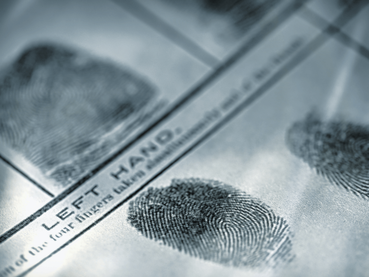
Crime investigations

Financial investigations
What makes our approach unique
Sovereignty, independence and ethics
moreAt Intersec, we prioritize data protection, responsible AI implementation, and ethical business practices, emphasizing geopolitical independence and control over our technology. Collaborating closely with clients and investing heavily in R&D, we place great importance on delivering scalable solutions that comply with legal frameworks.
We collect comprehensive metadata, but only relevant information is made accessible to authorized investigators, strictly within the scope of the inquiry and in full legal compliance. This meticulous approach allows law enforcement to conduct thorough investigations without missing any potential evidence, all while maintaining the highest standards of data privacy and ethical conduct.
State-of-the-art technology
moreOur technological superiority lies in our ability to access and analyze metadata from any device, anytime and anywhere. By harnessing the full spectrum of data — both current and historical— we ensure that every piece of information can be valuable at some point during an investigation.
Our unique capability to integrate data from both the physical and virtual worlds, combined with our mastery of the entire data processing chain end-to-end, allows us to add value at every step. Our solutions guarantee the reliability and integrity of information, including its sources.
User-Friendly and Efficient
moreOur LEA solutions offer a hassle-free, easy-to-use interface designed specifically for law enforcement professionals, ensuring quick and efficient reporting. Developed with real-world use cases in mind, it empowers end-users to perform their duties more effectively. Our tool is user-friendly for daily use by analysts. No technical skills are required to operate it, making it a seamless addition to any workflow.


Related offerings
Homeland security
Our solutions empower LEAs to aid in counterterrorism efforts, expedite missing person investigations, prevent financial fraud, and much more.
Civil protection

Our solutions empower authorities to alert citizens during emergencies, assist field teams during natural disasters, locate emergency callers, and much more.
Corporate safety & security

Our corporate safety and security applications enable professionals to detect risks, coordinate emergency communications, and improve crisis response for safer, more resilient workplaces.
Get started with Intersec

Some of our prestigious clients


.webp)

.webp)