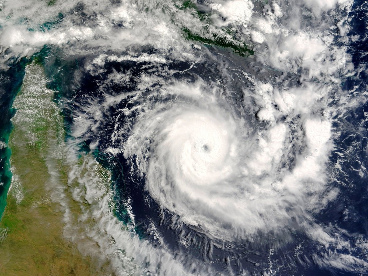
Early warning system in disaster management
Effective disaster management requires a comprehensive approach. Supporting the UN’s Early Warnings for All initiative, our early warning system (EWS) suite provides disaster management authorities with actionable tools for real-time digital field situational awareness, threat detection, multichannel warning dissemination, and crisis response coordination —all designed with one goal in mind: minimize harm and accelerate recovery.
→ EWS for disaster resilience
→ Multichannel alert system
→ Incident response software
→ EWS/PWS infographics
→ Situational awareness e-book

Fully integrated disaster warning framework
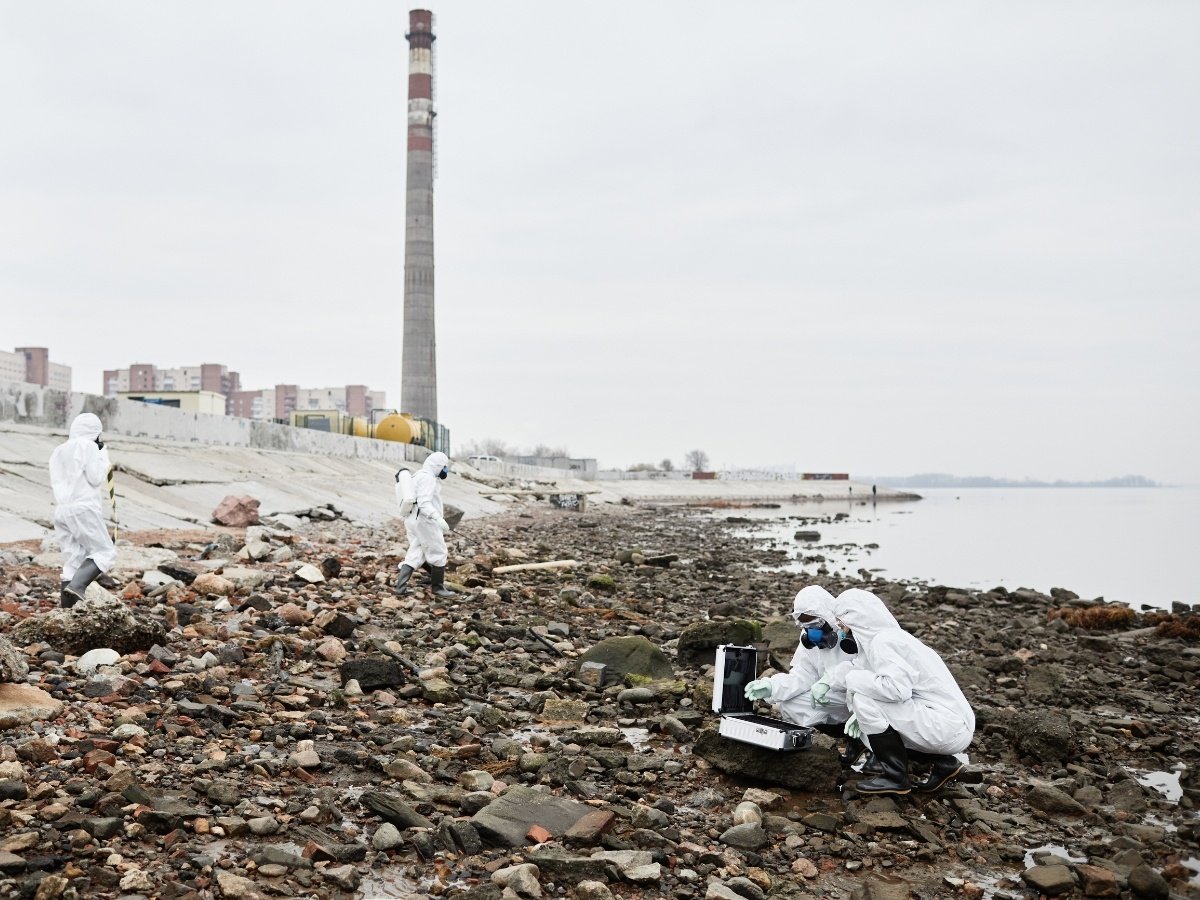
Disaster risk knowledge
moreUnderstanding disaster risk is the foundation for effective early warning systems. By accessing geospatial information and hazard maps for risk visualisation, decision-makers can gain a deeper awareness of hazards and vulnerabilities and take proactive measures to protect lives and livelihoods.
This reflects on the first pillar of the United Nations' "Early Warnings for All" initiative, led by UNDRR, which focuses on enhancing global risk knowledge and integrating it into early warning systems.
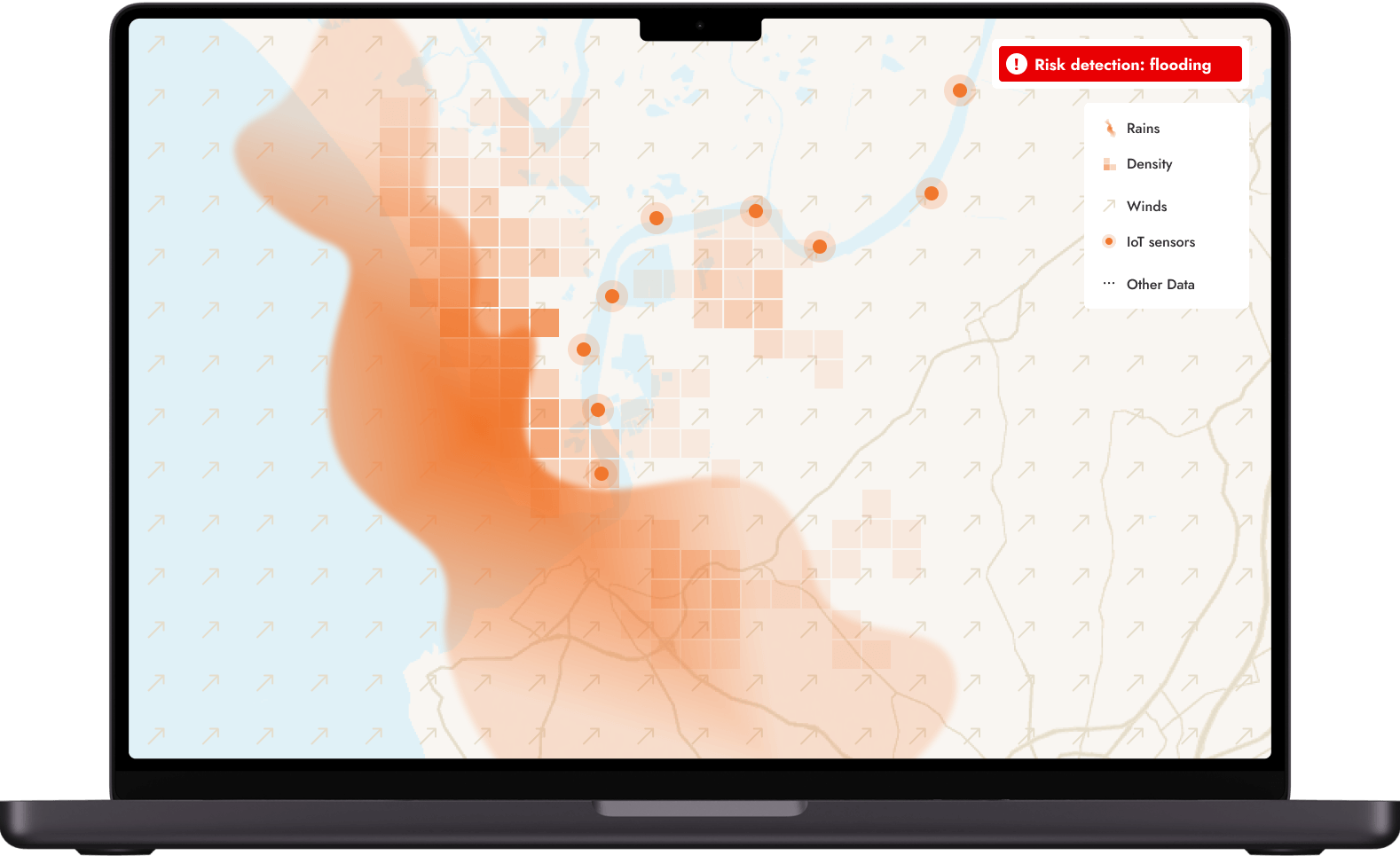
Risk detection & monitoring
moreEffective disaster response requires the ability to detect risks in real-time. By leveraging advanced technologies, we help stakeholders act quickly and decisively:
→ Detect anomalies with AI-driven early warning tools
→ Track environmental changes via IoT sensor networks
→ Send real-time notifications on evolving threats
This goes in line with the second pillar of the EW4All initiative, led by WMO. It aims to improve meteorological observations, impact-based forecasting, and warning services.
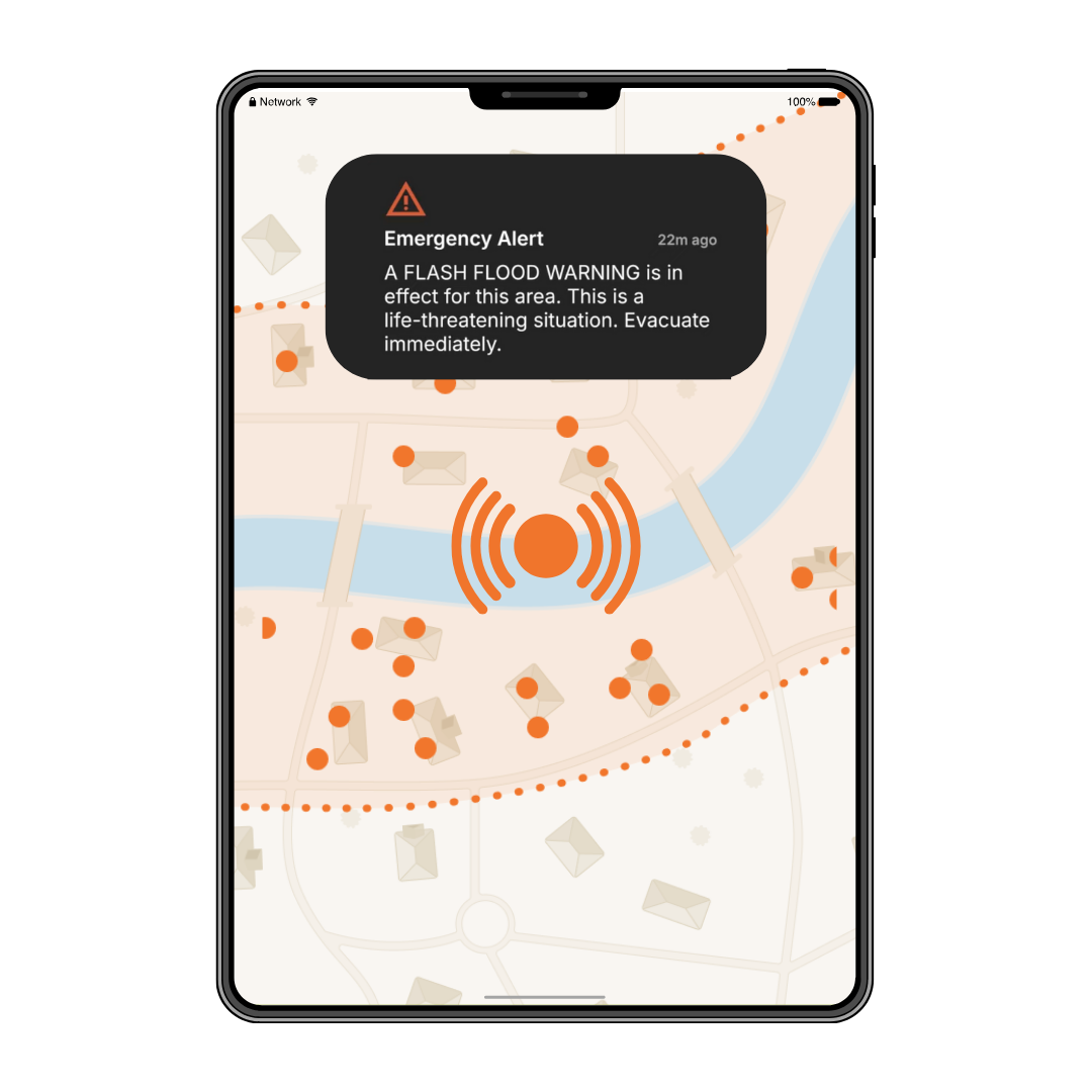
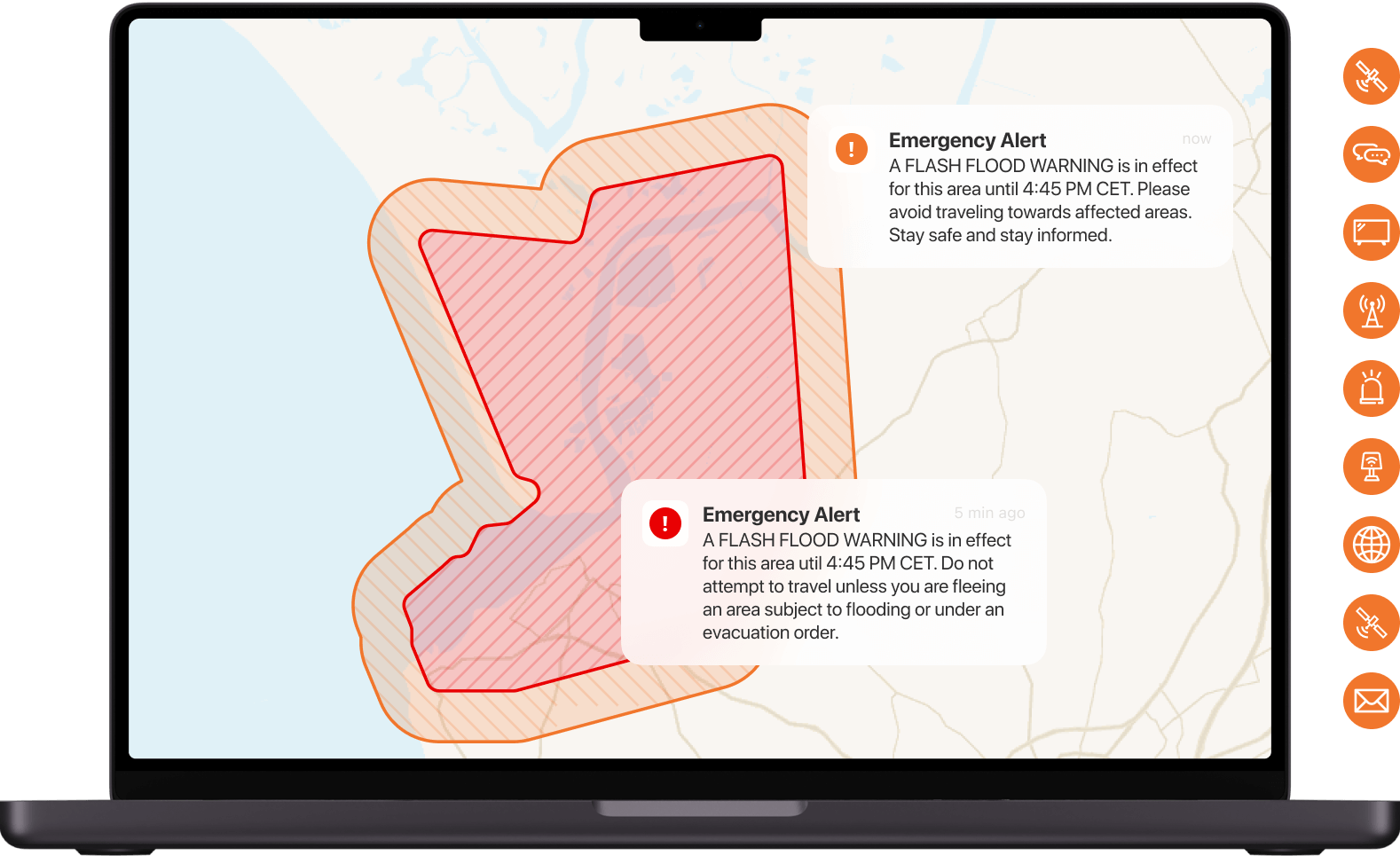
Warning dissemination and communication
moreDisseminating warnings means delivering clear, actionable alerts tailored to their needs and locations. Our multichannel public warning systems allow public authorities to:
→ Notify users with geo-targeted emergency alerts
→ Ensure multi-channel communication for rapid outreach
→ Provide contextualized notifications for specific hazards
It strongly collaborates with pillar n°3 of the UN's EW4All initiative. Led by the International Telecommunication Union (ITU), it focuses on delivering warnings in actionable and standardized formats and in a timely manner, putting people at the center.
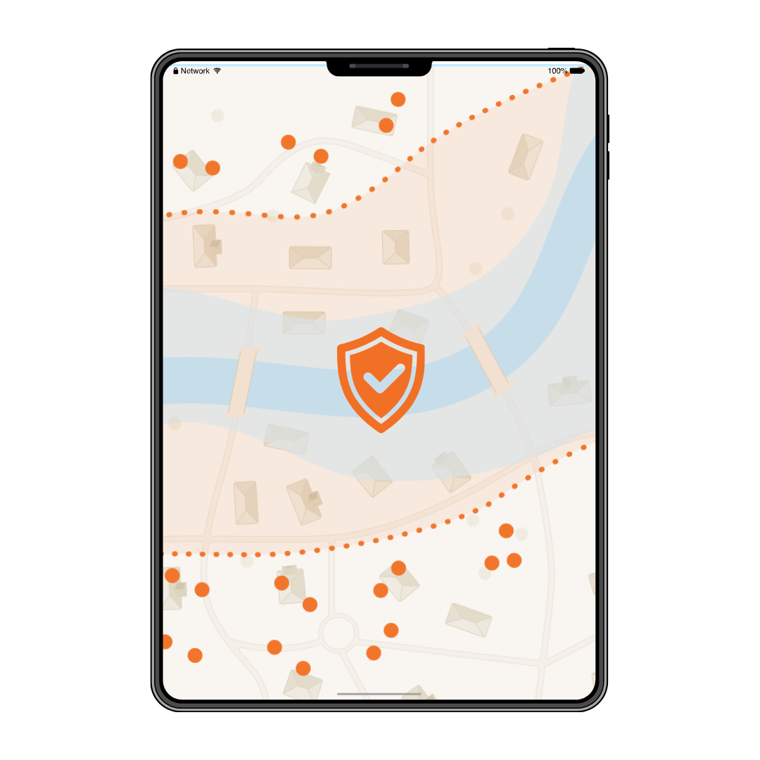
Crisis response
moreEffective crisis response turns early warnings into lifesaving actions. By equipping public authorities with the proper tools to act, we ensure that disaster impacts are minimized, and recovery is accelerated:
→ Empower informed decisions with accurate risk data
→ Support resource dispatch using real-time data insights
→ Ensure uninterrupted communication during disaster recovery phases
The International Federation of Red Cross and Red Crescent Societies (IFRC) is leading this fourth pillar of the UN's EW4All initiative. It ensures that plans and procedures are in place at local, subnational, and national levels, enabling communities and agencies to respond effectively when warnings are received.
The GeoSafe EWS Product Suite
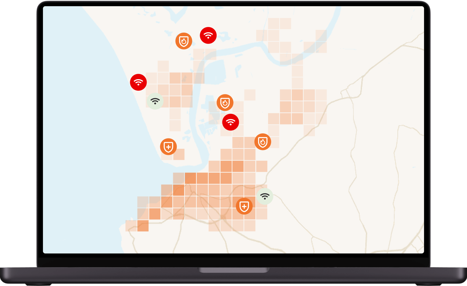
All-hazard approach, one unified platform
Multi-source live data layers
AI & automated actions
Seamless integration
Alert monitoring functions
User-friendly interface
Population heatmaps
Geo-targeting & retargeting
Multichannel approach
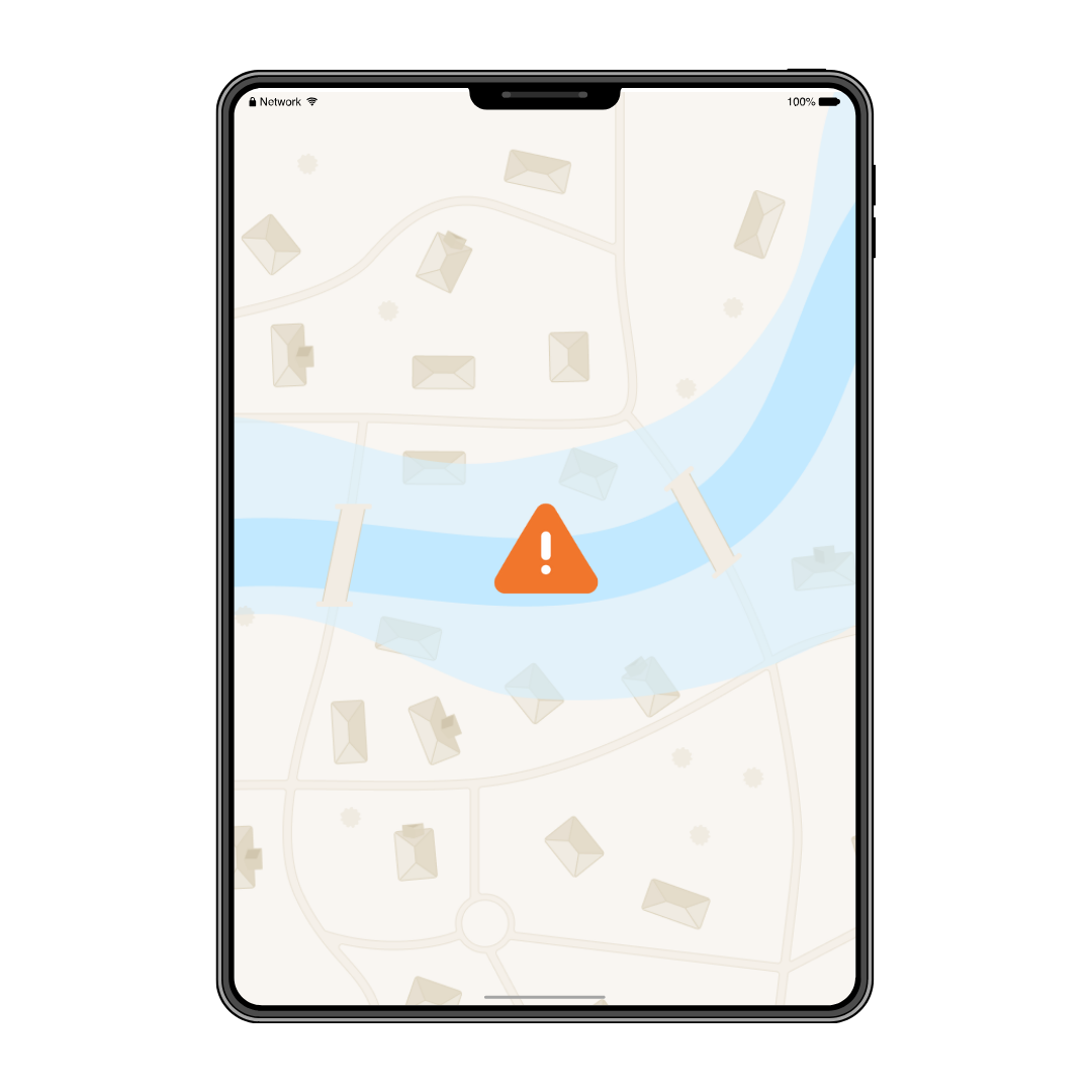
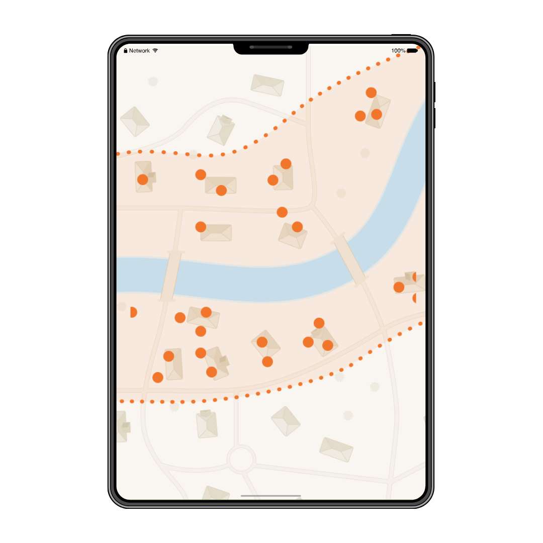
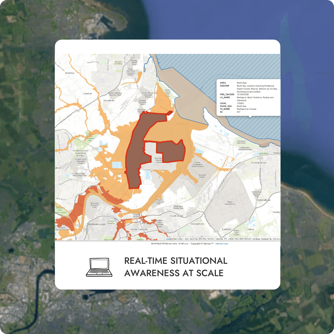
Case study: Flood Warning System
Context
Solution
Early disaster warning for any incident type

Earthquake Early Warning System (EEWS)
Enhance resilience through 24/7 monitoring, minimizing false alarms while ensuring timely alerts
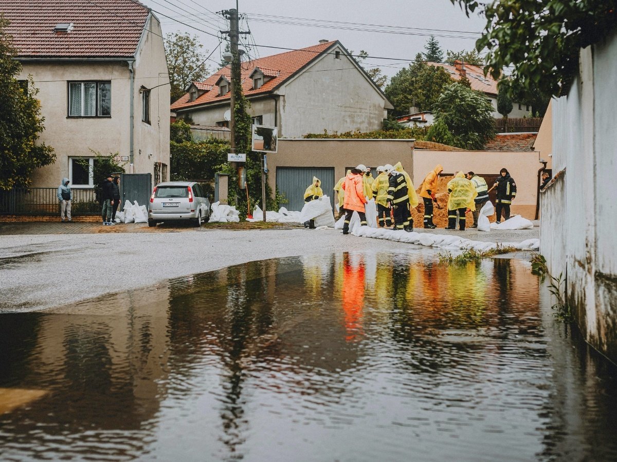
Flood Warning System (FWS)
Continuously monitor rainfall and streamflow data to predict flooding and issue timely alerts to communities
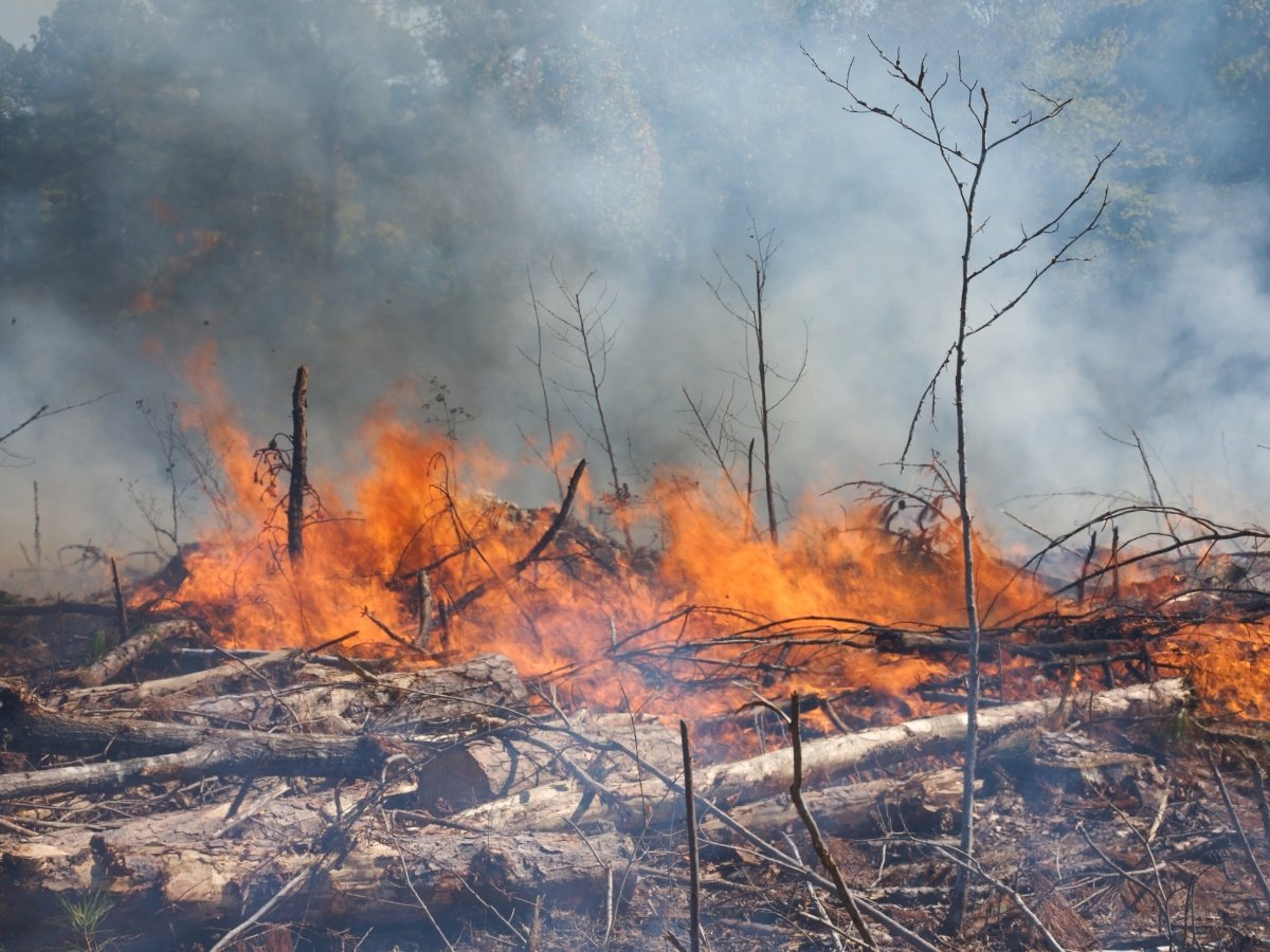
Wildfire Warning System (WWS)
Support firefighting efforts by providing real-time hazard maps for targeted resource deployment
Severe Weather Warning System (SWWS)
Monitor environmental indicators to forecast extreme weather events and disseminate actionable alerts
Industrial Warning System (IWS)
Reduces liability by ensuring compliance with safety standards through robust warning dissemination system
Featured content

Intersec makes pledge to ITU’s Partner2Connect digital coalition

Webinar - Megathrust Earthquakes and EWS in Indonesia
Get started with Intersec

Some of our prestigious clients


.webp)


.webp)