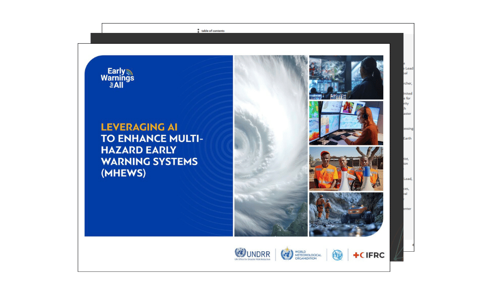
Last week in Geneva, we participated in the ITU's AI for Good event, immersing ourselves in the rapidly evolving field of AI-powered early warning systems (EWS). As active members of the ITU AI subgroup for EWS, we attended discussions and workshops dedicated to using artificial intelligence to address critical gaps in the Early Warnings for All initiative. AI has the potential to advance every aspect of multi-hazard early warning systems. Below are some of the challenges and opportunities ahead.
Pillar 1: Promoting last-mile connectivity
❌ Risk knowledge represents the first foundational pillar of effective EWS. However, significant gaps in risk information and assessments persist worldwide. A recurring theme was the severe inequality in global connectivity. While some regions boast robust mobile, radio, and satellite networks, others remain data deserts. In some countries, official maps are over 15 years old, even as populations have doubled during that time. Without regularly updated, high-resolution maps, ensuring that everyone is reached during crises remains an unattainable goal. Sensors and monitoring infrastructure also tend to be heavily concentrated in wealthier countries, leaving high-risk, low-resource areas critically undercovered.
💡 To address this, the ITU, Microsoft, and the University of Washington presented the Early Warning Connectivity Map (ECM), a joint effort to deliver a mapping tool that merges granular population data (at a 100m x 100m resolution globally) with extensive disaster connectivity coverage. The result is improved visibility into who remains off the warning grid, enabling targeted outreach efforts.
Pillar 2: Bridging data gaps
❌ Monitoring and forecasting cascading hazards, such as drought leading to heatwaves, presents significant challenges in data collection, monitoring, and verification. Many NGOs and private companies are interested in Mobile Network Operator (MNO) data, as it provides national coverage and real-time mobility insights. Access to Call Detail Record (CDR) data has been requested, but remains rare due to its sensitive nature, limited availability, and mixed reliability.
💡 Several promising AI-powered solutions were showcased at the summit: Google’s FloodHub delivers predictive flood monitoring via APIs; The GEO Group demonstrated global earth monitoring capabilities; Ignitia’s “virtual radars” remove the need for physical hardware, using AI-driven forecast systems to issue extreme weather alerts in underserved regions; David Pastor emphasized the potential of metrics derived from mobile networks to identify risk hotspots in real time: anomaly detection from signal behaviour, insights from collective intelligence etc.
✨ Our GeoSafe EWS suite, deployed both at the authority and mobile network levels, integrates multiple data sources, including MNO data. Intersec AI enhances the analysis of this data to power automated workflows, triggering alerts when risk thresholds are surpassed or when abnormal population mobility patterns are detected.
Pillar 3: Ensuring human-centric warning dissemination
❌ Effective warnings must be understood and acted upon by diverse audiences. In countries with multiple official languages and widespread illiteracy, text alerts alone are often inadequate. Dr. Johan Stander (WMO) emphasized the importance of multi-format, multilingual, and accessible communication methods, including voice messages or visuals where needed. In conflict-affected regions, trust in alerts can be fragile, often undermined by messaging from fragmented weather agencies.
💡 AI offers practical solutions here, from profiling population segments to tailor messaging based on age, language, or risk perception, to validating and translating alerts in real time. Initiatives like Daraja are already active in Sudan and Ethiopia, working to ensure even the most marginalized populations receive and trust timely warnings.
✨ The inherent reliability and “unspoofability” of MNO data offer a strong foundation for ensuring alerts reach those most at risk. Going forward, co-design between NGOs, international agencies like the ITU, and public-private partnerships will be essential for inclusive, locally adapted governance and implementation.
Pillar 4: Enhancing crisis response
❌ A significant data gap remains in understanding what happens during crises, particularly evacuations. Without reliable records of who moves, where, and when, it's difficult for researchers and policymakers to train AI models or establish effective standard operating procedures.
💡 Team Bibliotechies presented a promising technological solution that combines flood forecasting, impact mapping, and scenario simulations using machine learning. Rather than merely predicting hazards, their model evaluates best- and worst-case evacuation routes, helping humanitarian responders plan interventions and test “what-if” scenarios related to evacuations, cash transfers, or mobile team deployment.
✨ To scale such systems, strong partnerships with emergency response specialists are essential. Only by training models on both historical and live movement data can we deliver unified, dynamic tools that support crisis response, such as routing traffic, retargeting alerts as events unfold, or efficiently dispatching resources.
The synergy between trusted data and advanced AI has the potential to create a truly global impact. Every pillar of early warning systems depends on knowing, in real time, what is happening on the ground, and every solution relies on the ability to map and understand our world as it changes. While MNO data is invaluable, it is not sufficient on its own. It must be fused with open data, academic expertise, and private-sector innovation. Delivering these AI-powered solutions to civil protection authorities, through reliable and secure cloud platforms, is our best chance to ensure no one is left behind, before, during, or after disaster strikes.
 AI for Good summit: Key takeaways on advancing Early Warning Systems (EWS)" />
.jpg)


.webp)


.webp)