 Geohealth, the solution all telcos should get to contain Covid-19!" />
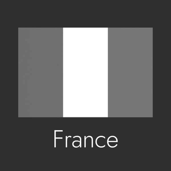
While Covid-19 is spreading all over the earth, mobile carriers would definitely help public authorities and populations by getting the GeoHealth solution from Intersec, a French scale-up that has been working on location-based insights and mobile messaging for over a decade.
Source: https://ourworldindata.org/coronavirus
As we all know, the virus is extremely contagious. Some countries are still at the early stages of the epidemic, mainly in Africa – Senegal, Mali, Mauritania, Angola, Namibia, etc. For these countries, being able to review the complete paths of the very first infected individuals in a region is key to nip the epidemic in the bud.
That is exactly what the GeoHealth solution does. It can help sanitary agencies see the last known positions of an infected person up to 15 days back in time, enabling them to get accurate information about real stops of the individual, showcasing places where actual virus contamination may have occurred, so that investigations, communications and field actions are optimized. 
Moreover, authorities need to communicate adequate precautionary messages to people who were previously located in the hazardous zones and placemarks that the infected person was in, in the last 2 weeks. These people need to know they might be at risk and get instructions to be examined by a doctor as soon as possible. Once again, GeoHealth can do this as the tool not only enables authorities to spot risk cases, it also enables them to send messages to warn all people who are / were in, or about to enter, a defined area.
Imagine in France for example, if the people attending the evangelic meeting in Mulhouse had been warned by such a tool, they would have followed the quarantine rules and contaminated way less people.
This GeoHealth solution proves very useful since it allows authorities to contact people who for example attended to shows or concerts in a given region during the last 5 days, where and when contamination and death rates have dramatically spiked up, inviting them to follow very precautious protection measures and stay in quarantine for the coming weeks. And, before the epidemics has reached its peak and spread all over the country - authorities may need to get global and regional statuses on the location of infected people. This would help identify new major clusters, and then size and delegate concrete field actions, in regions or provinces.
For countries where quarantine is already in place however, it is important that national and local authorities may convey the adequate instructions at municipal/inter-municipal or canton/county level. Sending the proper message to the nearby populations, informing them about new rules to follow or covered market opening hours is important and location-based messages are the best way to ensure that the population reached by these messages is in the right neighborhood.
It is also fundamental for authorities to be able to inform populations of protection instructions for application on a cluster-basis (e.g. fever monitoring, containment decreed, etc.). GeoHealth, would definitely be helpful for many mayors in these difficult moments. If only they could turn to their MNO to get this service!
Going further, this GeoHealth solution could be the backbone of a vertical solution, which would consist in gathering individual infection and healing reports from medical crews, updating the databases with fresh statuses as they are entered, and visualizing the situation thanks on map-based tools.
It is quite easy to put in place and could definitely be of great help for the sanitary authorities.
Let’s put together an example scenario to better understand the potential of this solution:
Let’s say, the epidemic has come to Canada and the authorities (both national and regional) must generate and share daily reports on the accurate live epidemic propagation situation. GeoHealth can provide two different visualization experiences to provide two levels of situation understanding. Firstly, a global country-wide view featuring a heat map; secondly, a projection of the infection cases by administrative zones (cities, provinces, etc.). Of course, once a subscriber has healed from the virus, he/she would not "appear" on these maps anymore.
Standalone or backbone of a vertical solution, GeoHealth is definitely the solution all telecommunication operators should get to contain Covid-19.
Based on Intersec Technology, French Tier One SFR today partners with Public Hospitals of Paris and the French National Institute of Research in Science and Digital Technologies, making population movements flows data available for them. They were able to supply several datasets allowing hospitals to measure and visualize population movements between Paris region and the other French regions during March. These insights allow a better understanding of population movements’ mechanisms together with establishing correlations with epidemiological risks on the French national territory. The aim for both AP-HP and INRIA is to refine their awaited charge prediction models for both Parisian hospitals and Regional hospitals. And it is just one possible application of the solution!
.jpg)
Editorial team
LinkedinThe Intersec editorial team is made up of professionals who share expert insights on AI-powered innovations, mission-critical communication solutions, and 5G location intelligence across civil protection, homeland security, and telecommunications.

Cell Broadcast Emergency Alerting live in 10 days
47 deployments. Four continents. Active conflict zones. We're not generalists who added public warning to a product catalog. This is all we do — and we're faster, deeper, and more adaptable than anyone.

.webp)


.webp)