
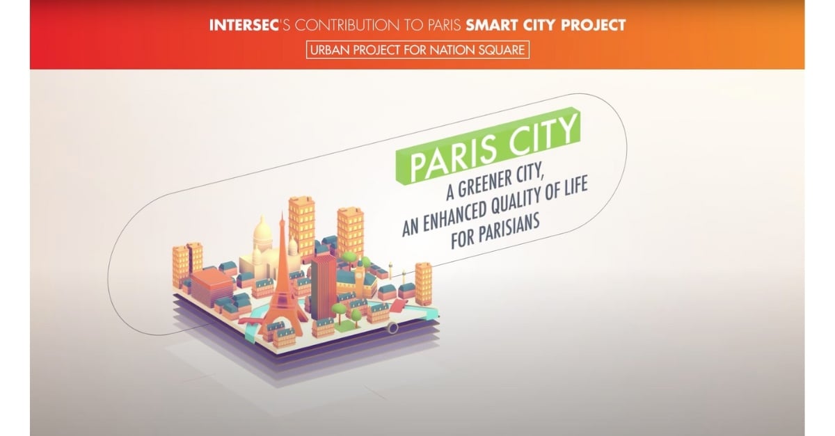
Big Data makes Smart Cities
Location is at the heart
Environment, transportation & more.
more- Environment: Urban planners can identify the location for green spaces or plan conservation projects within the precincts of the city. Most polluted areas in a city can also be identified and monitored.
- Human capital: Location technology helps strategists and demographers in profiling a city’s population patterns and gaining specific insights. Location intelligence makes work considerably easier for experts and planners.
- Mobility: Transportation systems can be efficiently managed using Location intelligence. For Instance, major cities use IoT applications for optimizing and managing traffic congestion or knowing the precise details of underground infrastructure to build tunnels.
- Technology: Location Intelligence provides users and organizations with a robust framework for analyzing and managing geospatial data. Drones, autonomous vehicles, IoT, indoor positioning, digital twins, all collect or rely on location information.
Device-agnostic passive collection
more- Continuous data collection of mobility events
- Passively collected (no impact on network)
- Compatible with any generation of mobile core network (2G to 5G)
- Every device supported (GSMs, feature phones, up to flagship smartphones), no apps needed for standard use cases
Omnichannel contextual communications
more- Communicate with citizens using the right channel, at the right time and location
- Adapt to device generations and subscribers’ habits
- Always choose the modern medium that provides the best reach and impact
- Draw or import comprehensive sets of geofences to prepare for any kind of event or situation
Low latency and 5G-ready
more- Reach citizens in seconds when sending location-based information or alerts
- Trigger near-instant notifications and alarms when thresholds or geofences are activated thanks to integrated in-raw database and rules engine components from Intersec Agora
- Temporal accuracy and latency further improved by the ongoing adoption of 5G


Featured content

Intersec’s Technology for England’s EA’s New Flood Warning System
Smart cities start with safety
Situational awareness

Our situational awareness instruments serve both authorities and private organizations by providing crisis managers with a real-time digital twin of the in-situ field situation.
Mass notification

Intersec provides a comprehensive, multi-channel application specifically designed for emergency mass notifications to enhance the reach and effectiveness of alerts for individuals at risk.
Incident response

In case of an incident, closely monitor ongoing situations and coordinate your communications with field agents and at-risk communities.
Emergency call location

Our emergency call location solution combines multidimensional cellular device locating capabilities to provide PSAPs with critical, certified, up-to-date location information, for all callers..
Get started with Intersec

Some of our prestigious clients


.webp)


.webp)